Aerial view of Rayleigh Conservative Club
Introduction
The photograph on this page of Aerial view of Rayleigh Conservative Club by Peter Rowlinson as part of the Geograph project.
The Geograph project started in 2005 with the aim of publishing, organising and preserving representative images for every square kilometre of Great Britain, Ireland and the Isle of Man.

There are currently over 7.5m images from over 14,400 individuals and you can help contribute to the project by visiting https://www.geograph.org.uk
Aerial view of Rayleigh Conservative Club
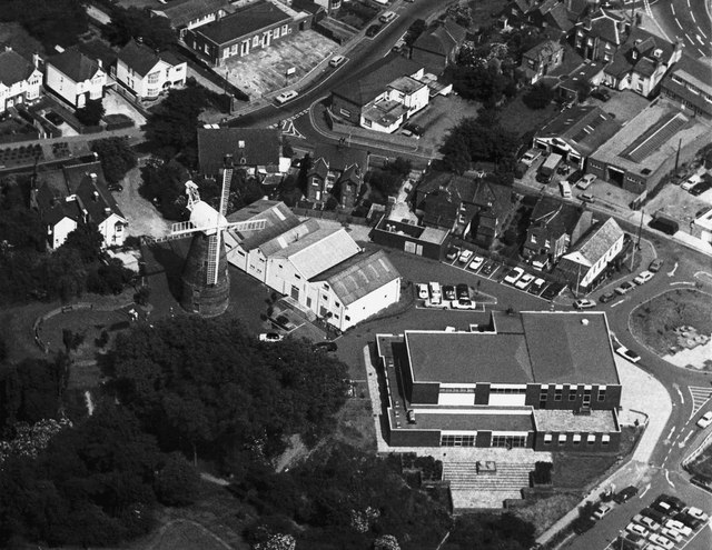
Image: © Peter Rowlinson Taken: Unknown
This picture shows the windmill and the old Sports and Social Club at the centre the Rayleigh Conservative Club slightly above to the right. Also visible is the New Mill Hall to the lower right and part of the Mount to the lower left. Date can not be established currently.
Images are licensed for reuse under creativecommons.org/licenses/by-sa/2.0
Image Location
Latitude
51.588001
Longitude
0.605872