20mph speed limit sign, St Anne's Terrace, Tonna
Introduction
The photograph on this page of 20mph speed limit sign, St Anne's Terrace, Tonna by Jaggery as part of the Geograph project.
The Geograph project started in 2005 with the aim of publishing, organising and preserving representative images for every square kilometre of Great Britain, Ireland and the Isle of Man.

There are currently over 7.5m images from over 14,400 individuals and you can help contribute to the project by visiting https://www.geograph.org.uk
20mph speed limit sign, St Anne's Terrace, Tonna
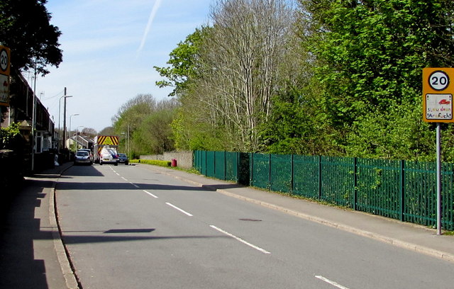
Image: © Jaggery Taken: 5 May 2016
Opposite St Anne's Church http://www.geograph.org.uk/photo/4942356 on the approach to a primary school.
Images are licensed for reuse under creativecommons.org/licenses/by-sa/2.0
Image Location


Leaflet Map data © OpenStreetMap
Latitude
51.67591
Longitude
-3.773625