Site of former rail line at Fairmuir Park
Introduction
The photograph on this page of Site of former rail line at Fairmuir Park by Douglas Nelson as part of the Geograph project.
The Geograph project started in 2005 with the aim of publishing, organising and preserving representative images for every square kilometre of Great Britain, Ireland and the Isle of Man.

There are currently over 7.5m images from over 14,400 individuals and you can help contribute to the project by visiting https://www.geograph.org.uk
Site of former rail line at Fairmuir Park
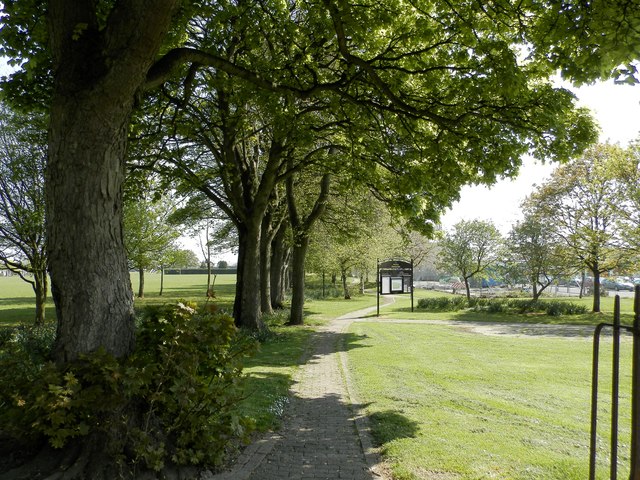
Image: © Douglas Nelson Taken: 10 May 2016
The line continued here from nearby Fairmuir Station to Maryfield.
Images are licensed for reuse under creativecommons.org/licenses/by-sa/2.0
Image Location
Latitude
56.479542
Longitude
-2.983353