Site of the Webster Memorial Clock, Ashby
Introduction
The photograph on this page of Site of the Webster Memorial Clock, Ashby by Oliver Mills as part of the Geograph project.
The Geograph project started in 2005 with the aim of publishing, organising and preserving representative images for every square kilometre of Great Britain, Ireland and the Isle of Man.

There are currently over 7.5m images from over 14,400 individuals and you can help contribute to the project by visiting https://www.geograph.org.uk
Site of the Webster Memorial Clock, Ashby
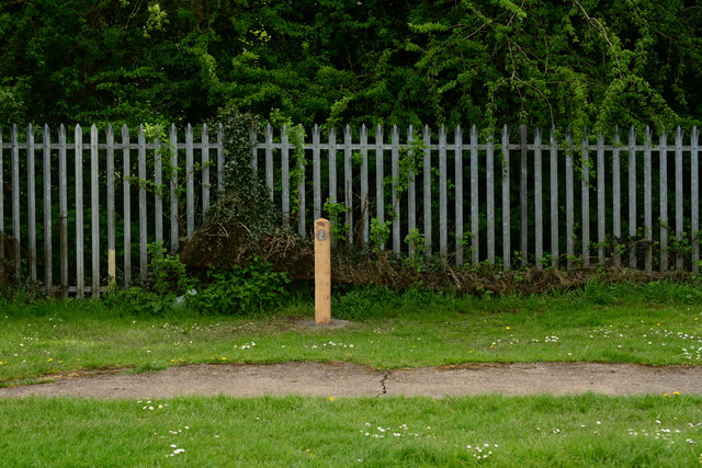
Image: © Oliver Mills Taken: 14 May 2016
Showing the former site of the clock tower, built to the south of the Bath Grounds. By 2006 it was derelict, and was demolished. This marker was installed days before this picture was taken, to mark the clock site on the Bath Grounds Heritage Trail. On the other side of the hedge is the Leicester-to-Burton railway line.
Images are licensed for reuse under creativecommons.org/licenses/by-sa/2.0
Image Location
Latitude
52.742879
Longitude
-1.471592