Ripon Town Hall and flanking buildings
Introduction
The photograph on this page of Ripon Town Hall and flanking buildings by Stephen Craven as part of the Geograph project.
The Geograph project started in 2005 with the aim of publishing, organising and preserving representative images for every square kilometre of Great Britain, Ireland and the Isle of Man.

There are currently over 7.5m images from over 14,400 individuals and you can help contribute to the project by visiting https://www.geograph.org.uk
Ripon Town Hall and flanking buildings
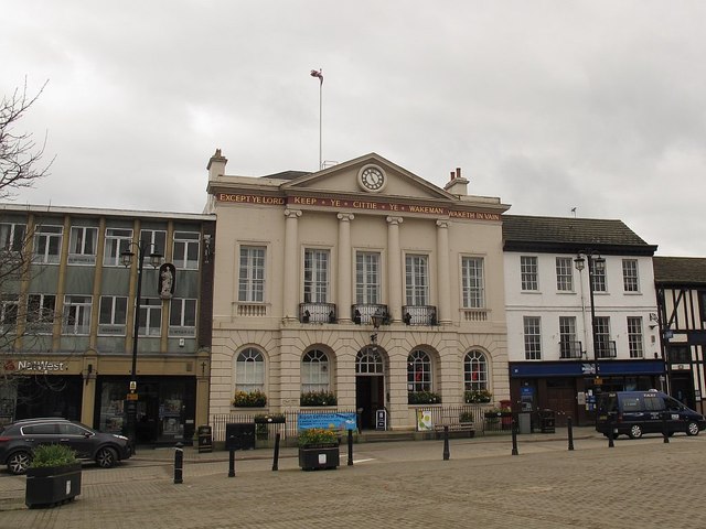
Image: © Stephen Craven Taken: 2 May 2016
Most of the buildings in the historic centre of Ripon are listed. The Town Hall is grade 2*, entry 1174370, and the buildings either side (currently both banks) are grade 2.
Images are licensed for reuse under creativecommons.org/licenses/by-sa/2.0
Image Location
Latitude
54.135882
Longitude
-1.523975