The boundary of Stansted Airport
Introduction
The photograph on this page of The boundary of Stansted Airport by Marathon as part of the Geograph project.
The Geograph project started in 2005 with the aim of publishing, organising and preserving representative images for every square kilometre of Great Britain, Ireland and the Isle of Man.

There are currently over 7.5m images from over 14,400 individuals and you can help contribute to the project by visiting https://www.geograph.org.uk
The boundary of Stansted Airport
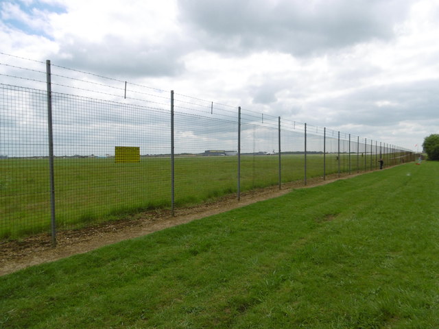
Image: © Marathon Taken: 14 May 2016
This stretch of grass between the boundary fence of Stansted Airport and Belmer Road is probably the best place to see planes landing and taking off at Stansted. The terminal is almost directly opposite.
Images are licensed for reuse under creativecommons.org/licenses/by-sa/2.0
Image Location
Latitude
51.891435
Longitude
0.238969