Church Street, Steyning
Introduction
The photograph on this page of Church Street, Steyning by Simon Carey as part of the Geograph project.
The Geograph project started in 2005 with the aim of publishing, organising and preserving representative images for every square kilometre of Great Britain, Ireland and the Isle of Man.

There are currently over 7.5m images from over 14,400 individuals and you can help contribute to the project by visiting https://www.geograph.org.uk
Church Street, Steyning
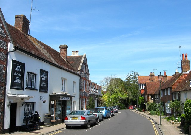
Image: © Simon Carey Taken: 8 May 2016
Looking northwards from the junction with School Lane with the Duke of Norfolk public house on the left and a neighbouring bakery.
Images are licensed for reuse under creativecommons.org/licenses/by-sa/2.0
Image Location
Latitude
50.888923
Longitude
-0.327146