St John's, Jarvis Lane, Steyning
Introduction
The photograph on this page of St John's, Jarvis Lane, Steyning by Simon Carey as part of the Geograph project.
The Geograph project started in 2005 with the aim of publishing, organising and preserving representative images for every square kilometre of Great Britain, Ireland and the Isle of Man.

There are currently over 7.5m images from over 14,400 individuals and you can help contribute to the project by visiting https://www.geograph.org.uk
St John's, Jarvis Lane, Steyning
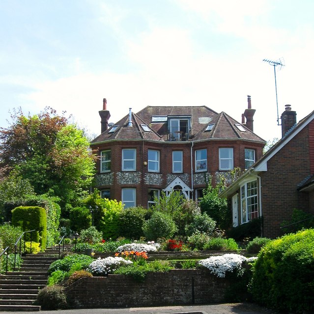
Image: © Simon Carey Taken: 8 May 2016
A large villa built sometime between 1897-1911. This is the rear view from the end of King Alfred's Close.
Images are licensed for reuse under creativecommons.org/licenses/by-sa/2.0
Image Location
Latitude
50.888517
Longitude
-0.32389