Strawberry Lane
Introduction
The photograph on this page of Strawberry Lane by Neil Owen as part of the Geograph project.
The Geograph project started in 2005 with the aim of publishing, organising and preserving representative images for every square kilometre of Great Britain, Ireland and the Isle of Man.

There are currently over 7.5m images from over 14,400 individuals and you can help contribute to the project by visiting https://www.geograph.org.uk
Strawberry Lane
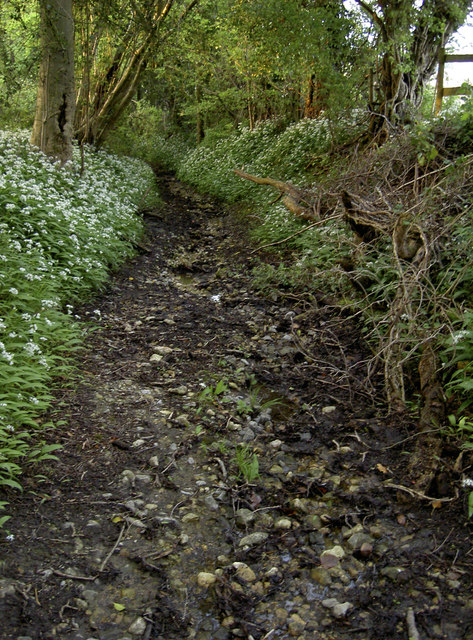
Image: © Neil Owen Taken: 12 May 2016
One of the routes that the River Malago takes as the waters run down from Dundry runs through this gravelly lane.
Images are licensed for reuse under creativecommons.org/licenses/by-sa/2.0
Image Location
Latitude
51.402671
Longitude
-2.630466