Brookers Acre
Introduction
The photograph on this page of Brookers Acre by Simon Carey as part of the Geograph project.
The Geograph project started in 2005 with the aim of publishing, organising and preserving representative images for every square kilometre of Great Britain, Ireland and the Isle of Man.

There are currently over 7.5m images from over 14,400 individuals and you can help contribute to the project by visiting https://www.geograph.org.uk
Brookers Acre
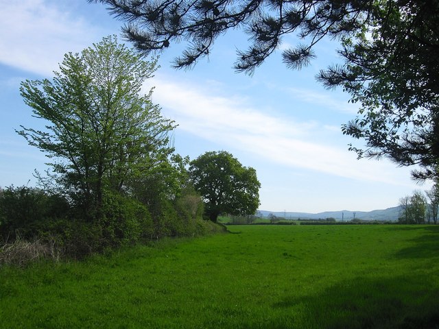
Image: © Simon Carey Taken: 8 May 2016
The name of the field according to Steyning's 1840 tithe map. The field lies to the south of Image and was separated from its south western part by the construction of the Steyning By-Pass in the early 1980s, the severed part later becoming Image
Images are licensed for reuse under creativecommons.org/licenses/by-sa/2.0
Image Location
Latitude
50.897632
Longitude
-0.326123