Top of Harper Street, Barnoldswick, Yorkshire
Introduction
The photograph on this page of Top of Harper Street, Barnoldswick, Yorkshire by Dr Neil Clifton as part of the Geograph project.
The Geograph project started in 2005 with the aim of publishing, organising and preserving representative images for every square kilometre of Great Britain, Ireland and the Isle of Man.

There are currently over 7.5m images from over 14,400 individuals and you can help contribute to the project by visiting https://www.geograph.org.uk
Top of Harper Street, Barnoldswick, Yorkshire
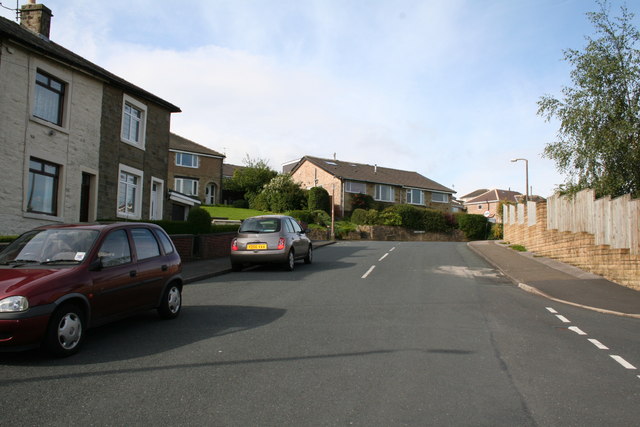
Image: © Dr Neil Clifton Taken: 8 Jul 2007
Priory Way comes in from the right near to the camera. Higher up, Harper street reaches its end, with Pennine Way to the left and Monkroyd Avenue to the right.
Images are licensed for reuse under creativecommons.org/licenses/by-sa/2.0
Image Location


Leaflet Map data © OpenStreetMap
Latitude
53.918087
Longitude
-2.193325