Priory Way, Barnoldswick (4)
Introduction
The photograph on this page of Priory Way, Barnoldswick (4) by Dr Neil Clifton as part of the Geograph project.
The Geograph project started in 2005 with the aim of publishing, organising and preserving representative images for every square kilometre of Great Britain, Ireland and the Isle of Man.

There are currently over 7.5m images from over 14,400 individuals and you can help contribute to the project by visiting https://www.geograph.org.uk
Priory Way, Barnoldswick (4)
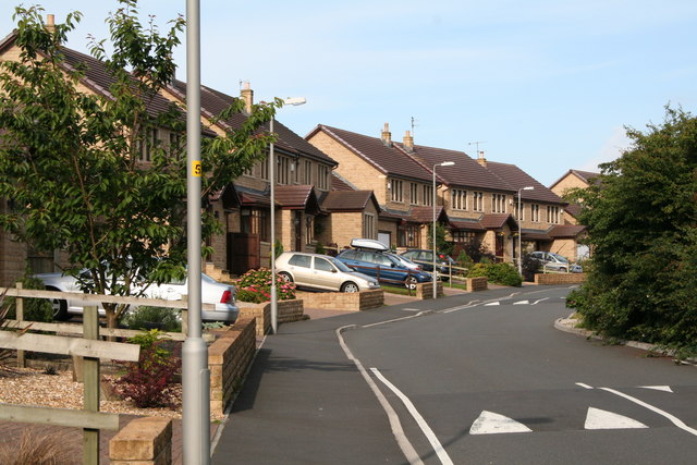
Image: © Dr Neil Clifton Taken: 8 Jul 2007
Near the far end of the stem of the Priory Way 'T'. Most new residential roads are now provided with speed bumps from the start, as here.
Images are licensed for reuse under creativecommons.org/licenses/by-sa/2.0
Image Location


Leaflet Map data © OpenStreetMap
Latitude
53.918085
Longitude
-2.194848