Beacon Hill
Introduction
The photograph on this page of Beacon Hill by Andy Gryce as part of the Geograph project.
The Geograph project started in 2005 with the aim of publishing, organising and preserving representative images for every square kilometre of Great Britain, Ireland and the Isle of Man.

There are currently over 7.5m images from over 14,400 individuals and you can help contribute to the project by visiting https://www.geograph.org.uk
Beacon Hill
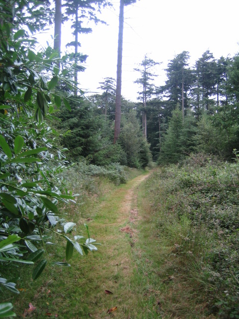
Image: © Andy Gryce Taken: 12 Jul 2007
This path runs north close to the top and on the west side of Beacon Hill, which is 237 m high. Beacon Hill is heavily wooded and lies in the south-west corner of the Fonthill Abbey estate, and close to the unclassified north-south road from Hindon to Newtown. The hill is greensand which forms an escarpment around the hill and is an southerly extension of the greensand ridge which runs from Dinton in the east to East Knoyle in the east, a distance of 12km. In 1796 on the north-east side of the woods, the eccentric and obsessive novelist William Beckford, built a romantic gothic folly, Fonthill Abbey, which subsequently collapsed, see Image Here is a print of the abbey which was painted from 'Beacon Terrace', which is possibly the east side of the hill, http://beckford.c18.net/rutterdelplate13.html.
Images are licensed for reuse under creativecommons.org/licenses/by-sa/2.0
Image Location
Latitude
51.07016
Longitude
-2.127829