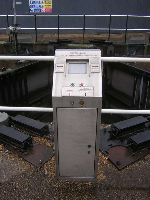
Operating panel, lower gates, City Mill Lock
Introduction
The photograph on this page of Operating panel, lower gates, City Mill Lock by Christopher Hilton as part of the Geograph project.
The Geograph project started in 2005 with the aim of publishing, organising and preserving representative images for every square kilometre of Great Britain, Ireland and the Isle of Man.
There are currently over 7.5m images from over 14,400 individuals and you can help contribute to the project by visiting https://www.geograph.org.uk

Image: © Christopher Hilton Taken: 11 May 2016
City Mill Lock lowers vessels from the City Mill River (left) to the Waterworks River (right). The double set of lower lock gates, facing in opposite directions, indicate that sometimes the tide might raise the water level to the right higher than that on the left; on those occasions the right-hand gates will close to keep the water out. Because there are no corresponding gates at the upper end of the lock, navigation through the lock will not be possible at those times.

