St Thomas Gardens, Bradley (northern end)
Introduction
The photograph on this page of St Thomas Gardens, Bradley (northern end) by David Ward as part of the Geograph project.
The Geograph project started in 2005 with the aim of publishing, organising and preserving representative images for every square kilometre of Great Britain, Ireland and the Isle of Man.

There are currently over 7.5m images from over 14,400 individuals and you can help contribute to the project by visiting https://www.geograph.org.uk
St Thomas Gardens, Bradley (northern end)
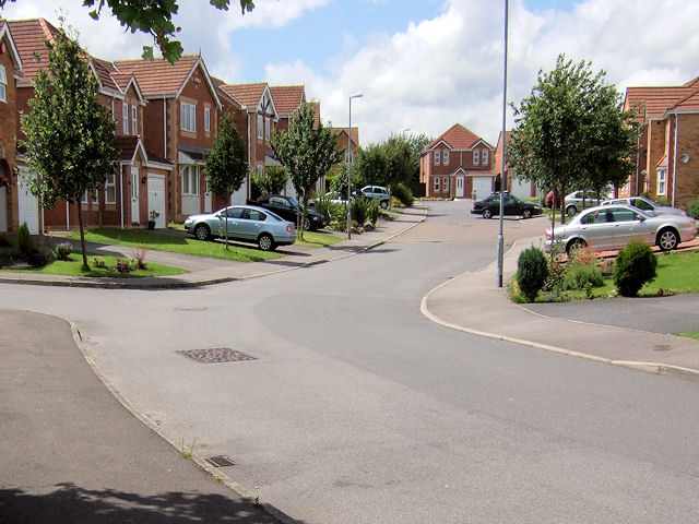
Image: © David Ward Taken: 14 Jul 2007
Looking down St Thomas Gardens with our back to Bradley Road having just passed St Thomas church to our left.
Images are licensed for reuse under creativecommons.org/licenses/by-sa/2.0
Image Location


Leaflet Map data © OpenStreetMap
Latitude
53.681685
Longitude
-1.74758