Pabail Uarach
Introduction
The photograph on this page of Pabail Uarach by Eileen Henderson as part of the Geograph project.
The Geograph project started in 2005 with the aim of publishing, organising and preserving representative images for every square kilometre of Great Britain, Ireland and the Isle of Man.

There are currently over 7.5m images from over 14,400 individuals and you can help contribute to the project by visiting https://www.geograph.org.uk
Pabail Uarach
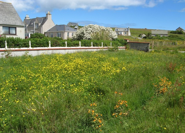
Image: © Eileen Henderson Taken: 29 Jun 2007
The village of Pabail Uarach (Upper Bayble) lies to the east of its neighbour, Pabail Iarach. At the time this photo was taken, in late June, the grass verge between the houses and the road through the village was brilliant with buttercups, and the ditch below it had been taken over by a variety of mimulus.
Images are licensed for reuse under creativecommons.org/licenses/by-sa/2.0
Image Location
Latitude
58.205974
Longitude
-6.198961