St Leonard's Church Polling Station, Scarcliffe
Introduction
The photograph on this page of St Leonard's Church Polling Station, Scarcliffe by Neil Theasby as part of the Geograph project.
The Geograph project started in 2005 with the aim of publishing, organising and preserving representative images for every square kilometre of Great Britain, Ireland and the Isle of Man.

There are currently over 7.5m images from over 14,400 individuals and you can help contribute to the project by visiting https://www.geograph.org.uk
St Leonard's Church Polling Station, Scarcliffe
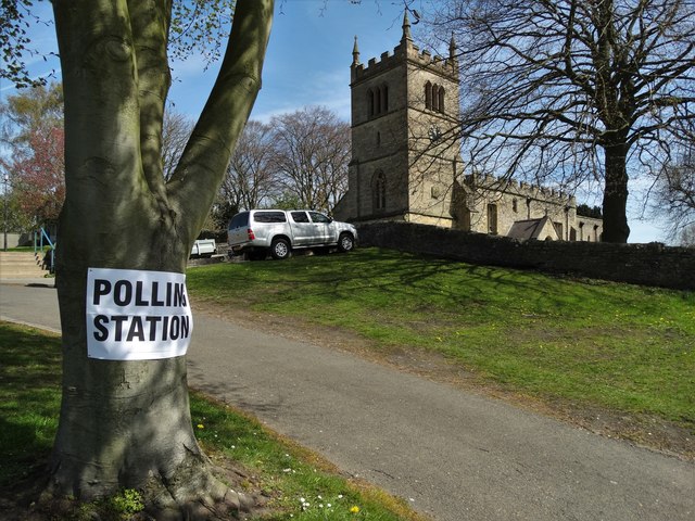
Image: © Neil Theasby Taken: 5 May 2016
On May 5th 2016, St Leonard's was once again converted into a polling station as voters elected councillors and their police and crime commissioner.
Images are licensed for reuse under creativecommons.org/licenses/by-sa/2.0
Image Location
Latitude
53.21342
Longitude
-1.259773