Spectrum House, Bristol
Introduction
The photograph on this page of Spectrum House, Bristol by Derek Harper as part of the Geograph project.
The Geograph project started in 2005 with the aim of publishing, organising and preserving representative images for every square kilometre of Great Britain, Ireland and the Isle of Man.

There are currently over 7.5m images from over 14,400 individuals and you can help contribute to the project by visiting https://www.geograph.org.uk
Spectrum House, Bristol
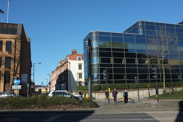
Image: © Derek Harper Taken: 24 Feb 2016
A recent building on the north side of Bond Street, beside Gloucester Street. Beyond it is an C18 terrace https://www.historicengland.org.uk/listing/the-list/list-entry/1282273 , with a glimpse of Surrey Lodge https://www.historicengland.org.uk/listing/the-list/list-entry/1204561 at the far end.
Images are licensed for reuse under creativecommons.org/licenses/by-sa/2.0
Image Location
Latitude
51.459544
Longitude
-2.587061