Muddy Byway Between Cold Norton & Rounbush
Introduction
The photograph on this page of Muddy Byway Between Cold Norton & Rounbush by Glyn Baker as part of the Geograph project.
The Geograph project started in 2005 with the aim of publishing, organising and preserving representative images for every square kilometre of Great Britain, Ireland and the Isle of Man.

There are currently over 7.5m images from over 14,400 individuals and you can help contribute to the project by visiting https://www.geograph.org.uk
Muddy Byway Between Cold Norton & Rounbush
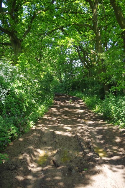
Image: © Glyn Baker Taken: 12 May 2016
I am sure the ruts would be much deeper if this was not a Image
Images are licensed for reuse under creativecommons.org/licenses/by-sa/2.0
Image Location
Latitude
51.67698
Longitude
0.668408