Footpath by the Royal Military Canal, Hythe
Introduction
The photograph on this page of Footpath by the Royal Military Canal, Hythe by pam fray as part of the Geograph project.
The Geograph project started in 2005 with the aim of publishing, organising and preserving representative images for every square kilometre of Great Britain, Ireland and the Isle of Man.

There are currently over 7.5m images from over 14,400 individuals and you can help contribute to the project by visiting https://www.geograph.org.uk
Footpath by the Royal Military Canal, Hythe
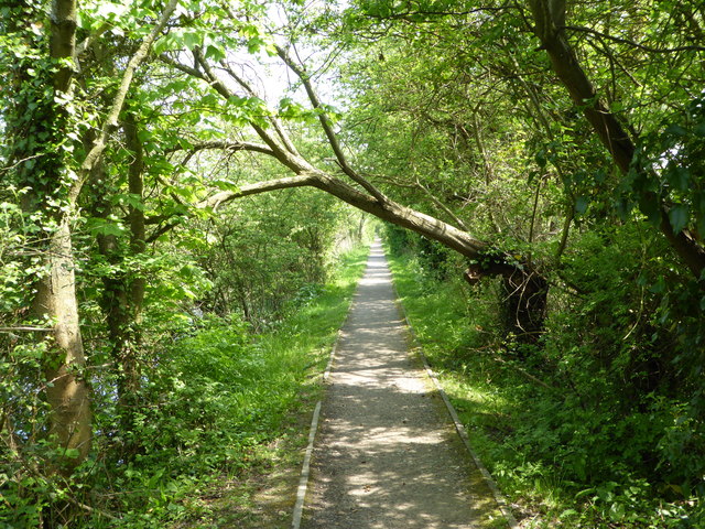
Image: © pam fray Taken: 12 May 2016
Looking east on the south path. The 28 miles canal runs between Cliff End and Folkestone. It was built from 1804 to 1809, during the Napoleonic Wars. The canal was never used for defensive purposes.
Images are licensed for reuse under creativecommons.org/licenses/by-sa/2.0
Image Location
Latitude
51.06612
Longitude
1.043654