Broomfield Place
Introduction
The photograph on this page of Broomfield Place by E Gammie as part of the Geograph project.
The Geograph project started in 2005 with the aim of publishing, organising and preserving representative images for every square kilometre of Great Britain, Ireland and the Isle of Man.

There are currently over 7.5m images from over 14,400 individuals and you can help contribute to the project by visiting https://www.geograph.org.uk
Broomfield Place
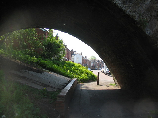
Image: © E Gammie Taken: 12 May 2016
Broomfield Place is split by the Coventry-Nuneaton railway line. The two halves are connected by this footpath under one of the lower arches of the Spon End viaduct ( Image] ).
Images are licensed for reuse under creativecommons.org/licenses/by-sa/2.0
Image Location
Latitude
52.407705
Longitude
-1.528378