Pabail Iarach (Lower Bayble)
Introduction
The photograph on this page of Pabail Iarach (Lower Bayble) by Eileen Henderson as part of the Geograph project.
The Geograph project started in 2005 with the aim of publishing, organising and preserving representative images for every square kilometre of Great Britain, Ireland and the Isle of Man.

There are currently over 7.5m images from over 14,400 individuals and you can help contribute to the project by visiting https://www.geograph.org.uk
Pabail Iarach (Lower Bayble)
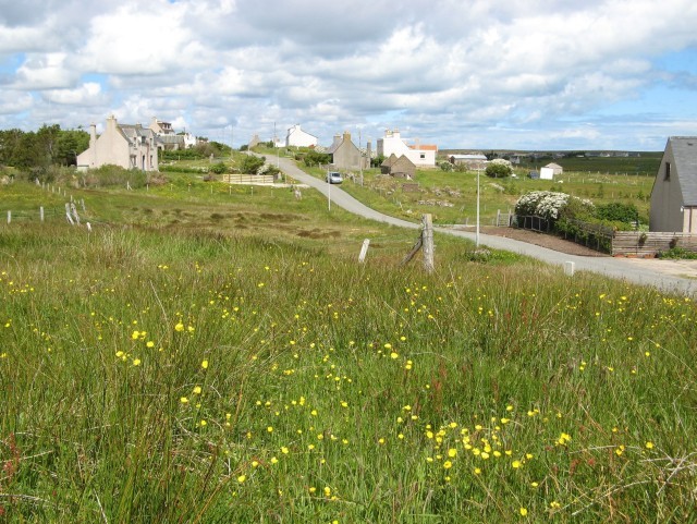
Image: © Eileen Henderson Taken: 29 Jun 2007
The village of Pabail Iarach stretches out along the road which curves round Bagh Phabail (Bayble Bay), about 50m above the bay.
Images are licensed for reuse under creativecommons.org/licenses/by-sa/2.0
Image Location


Leaflet Map data © OpenStreetMap
Latitude
58.196344
Longitude
-6.22371