Charminster - the new bridge over the River Cerne
Introduction
The photograph on this page of Charminster - the new bridge over the River Cerne by Becky Williamson as part of the Geograph project.
The Geograph project started in 2005 with the aim of publishing, organising and preserving representative images for every square kilometre of Great Britain, Ireland and the Isle of Man.

There are currently over 7.5m images from over 14,400 individuals and you can help contribute to the project by visiting https://www.geograph.org.uk
Charminster - the new bridge over the River Cerne
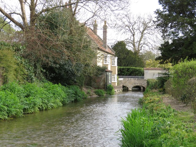
Image: © Becky Williamson Taken: 6 May 2016
We crossed the bridge only a few hours after its official opening ceremony. The road had been closed after severe damage during the floods of the winter 2013/2014. See Image] for a photo of the bridge opening ceremony sign.
Images are licensed for reuse under creativecommons.org/licenses/by-sa/2.0
Image Location


Leaflet Map data © OpenStreetMap
Latitude
50.733114
Longitude
-2.455361