Ready for demolition
Introduction
The photograph on this page of Ready for demolition by M J Richardson as part of the Geograph project.
The Geograph project started in 2005 with the aim of publishing, organising and preserving representative images for every square kilometre of Great Britain, Ireland and the Isle of Man.

There are currently over 7.5m images from over 14,400 individuals and you can help contribute to the project by visiting https://www.geograph.org.uk
Ready for demolition
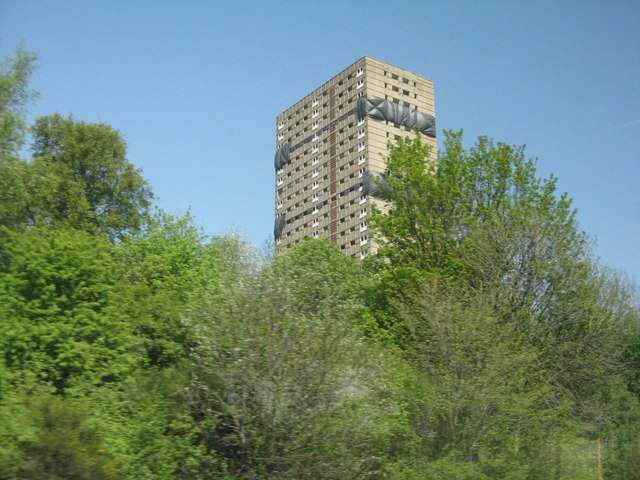
Image: © M J Richardson Taken: 11 May 2016
A Roystonhill tower block on Rosemount Street prepared for the drop. The demolition took place on 22 May 2016 http://www.bbc.co.uk/news/uk-scotland-scotland-business-36353506
Images are licensed for reuse under creativecommons.org/licenses/by-sa/2.0
Image Location
Latitude
55.86713
Longitude
-4.224251