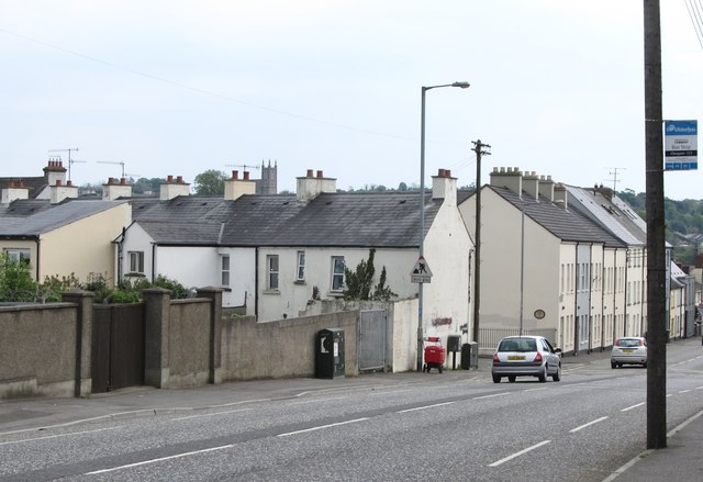
The junction with Barrack Street on the Armagh Road
Introduction
The photograph on this page of The junction with Barrack Street on the Armagh Road by Eric Jones as part of the Geograph project.
The Geograph project started in 2005 with the aim of publishing, organising and preserving representative images for every square kilometre of Great Britain, Ireland and the Isle of Man.
There are currently over 7.5m images from over 14,400 individuals and you can help contribute to the project by visiting https://www.geograph.org.uk

Image: © Eric Jones Taken: 9 May 2016
Barrack Street, as the name suggests was the site of the British Army barracks in Newry, Housed in the disused White Linen Hall from the 1839s onwards it accommodated garrisons of 600 and more soldiers. With the rapidly deteriorating security situation in the 1970s and the need for widespread use of helicopters the garrison was relocated to another former linen mill, that at the nearby village of Bessbrook. Housing Executive social housing now occupy the site of the former barracks at Newry. http://www.newryjournal.co.uk/2005/01/10/newry-military-barracks/

