Junction, Peasedown St John
Introduction
The photograph on this page of Junction, Peasedown St John by Derek Harper as part of the Geograph project.
The Geograph project started in 2005 with the aim of publishing, organising and preserving representative images for every square kilometre of Great Britain, Ireland and the Isle of Man.

There are currently over 7.5m images from over 14,400 individuals and you can help contribute to the project by visiting https://www.geograph.org.uk
Junction, Peasedown St John
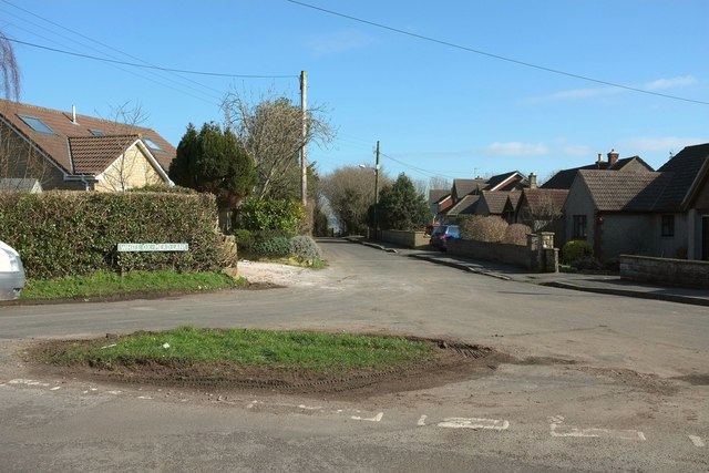
Image: © Derek Harper Taken: 24 Feb 2016
A grass circle that might pass muster as a triangle at the junction of Eckweek Lane with White Ox Mead Lane. The original course of both roads has been truncated by new road development.
Images are licensed for reuse under creativecommons.org/licenses/by-sa/2.0
Image Location
Latitude
51.320093
Longitude
-2.416811