End of Eckweek Lane, Peasedown St John
Introduction
The photograph on this page of End of Eckweek Lane, Peasedown St John by Derek Harper as part of the Geograph project.
The Geograph project started in 2005 with the aim of publishing, organising and preserving representative images for every square kilometre of Great Britain, Ireland and the Isle of Man.

There are currently over 7.5m images from over 14,400 individuals and you can help contribute to the project by visiting https://www.geograph.org.uk
End of Eckweek Lane, Peasedown St John
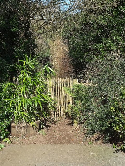
Image: © Derek Harper Taken: 24 Feb 2016
The motorable lane may end along with the houses, but the line of it continues along bridleway BA 19/30 - alas for only 120 metres (see Image]).
Images are licensed for reuse under creativecommons.org/licenses/by-sa/2.0
Image Location
Latitude
51.32099
Longitude
-2.417393