A367 truncating White Ox Mead Lane
Introduction
The photograph on this page of A367 truncating White Ox Mead Lane by Derek Harper as part of the Geograph project.
The Geograph project started in 2005 with the aim of publishing, organising and preserving representative images for every square kilometre of Great Britain, Ireland and the Isle of Man.

There are currently over 7.5m images from over 14,400 individuals and you can help contribute to the project by visiting https://www.geograph.org.uk
A367 truncating White Ox Mead Lane
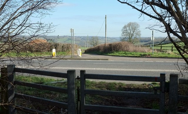
Image: © Derek Harper Taken: 24 Feb 2016
From the lane on the Peasedown St John side of the bypass, where it is relegated to a path. Beyond the main road, it remains a motorable lane to the farming hamlet of White Ox Mead.
Images are licensed for reuse under creativecommons.org/licenses/by-sa/2.0
Image Location
Latitude
51.320999
Longitude
-2.41481