OSBM Flush Bracket S0557 - Cardigan, St. Mary's School
Introduction
The photograph on this page of OSBM Flush Bracket S0557 - Cardigan, St. Mary's School by N Scott as part of the Geograph project.
The Geograph project started in 2005 with the aim of publishing, organising and preserving representative images for every square kilometre of Great Britain, Ireland and the Isle of Man.

There are currently over 7.5m images from over 14,400 individuals and you can help contribute to the project by visiting https://www.geograph.org.uk
OSBM Flush Bracket S0557 - Cardigan, St. Mary's School
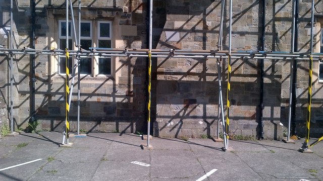
Image: © N Scott Taken: 3 May 2016
Ordnance Survey Benchmark (OSBM) used for levelling height above Ordnance Datum (OD). Height (1954): 7.3333m OD (Newlyn). Mark verified by the Ordnance Survey in 1973. Description: FL BR S0557 S FACE 4.3M SW ANG SCH N SIDE RD. 1st Order BM. The bracket was used on the Haverford West to Cardigan line (G077) of the Third Geodetic Levelling of England & Wales in 1954. Abstract G 65: http://discovery.nationalarchives.gov.uk/SearchUI/details?Uri=C11264473 [OS 54/754] The bracket was previously used on the Aberayron to Carmarthen secondary line of the Second Geodetic Levelling of England & Wales in 1953-1954. It was levelled with a height of 24.117' above OD (Newlyn). Abstract S 7: http://discovery.nationalarchives.gov.uk/details/r/C11225155 [OS 54/639]. It was originally levelled at 24.282' above OD (Newlyn) on the Aberaeron to Carmarthen secondary line in 1927-1928. Description: S face, 10' from SW angle of school, N side of Pont-y-Cleifion, Cardigan. Abstract A 471: http://discovery.nationalarchives.gov.uk/details/r/C11178815 [OS 54/136]. Close-up: Image
Images are licensed for reuse under creativecommons.org/licenses/by-sa/2.0
Image Location


Leaflet Map data © OpenStreetMap
Latitude
52.083181
Longitude
-4.656872