New Henry Street, Neath
Introduction
The photograph on this page of New Henry Street, Neath by Jaggery as part of the Geograph project.
The Geograph project started in 2005 with the aim of publishing, organising and preserving representative images for every square kilometre of Great Britain, Ireland and the Isle of Man.

There are currently over 7.5m images from over 14,400 individuals and you can help contribute to the project by visiting https://www.geograph.org.uk
New Henry Street, Neath
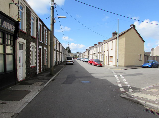
Image: © Jaggery Taken: 29 Apr 2016
Extending for 130 metres from Henry Street to Bowen Street. The ARMS on the left is part of the Borough Arms pub. http://www.geograph.org.uk/photo/4945625
Images are licensed for reuse under creativecommons.org/licenses/by-sa/2.0
Image Location
Latitude
51.656563
Longitude
-3.80988