A480 Kington Road
Introduction
The photograph on this page of A480 Kington Road by Jonathan Billinger as part of the Geograph project.
The Geograph project started in 2005 with the aim of publishing, organising and preserving representative images for every square kilometre of Great Britain, Ireland and the Isle of Man.

There are currently over 7.5m images from over 14,400 individuals and you can help contribute to the project by visiting https://www.geograph.org.uk
A480 Kington Road
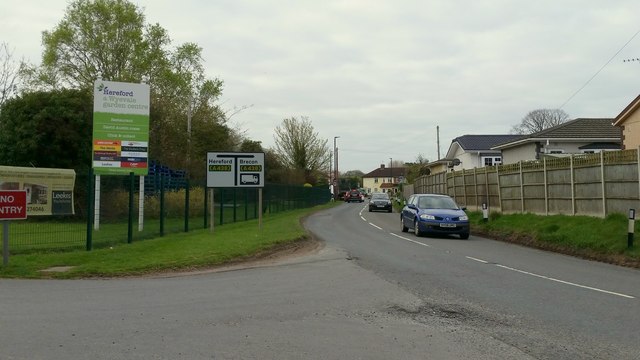
Image: © Jonathan Billinger Taken: 19 Apr 2016
Looking towards the junction with A438 Kings Acre Road, by the exit from Wyevale Garden Centre.
Images are licensed for reuse under creativecommons.org/licenses/by-sa/2.0
Image Location
Latitude
52.070493
Longitude
-2.773908