Cheddar Yeo
Introduction
The photograph on this page of Cheddar Yeo by Derek Harper as part of the Geograph project.
The Geograph project started in 2005 with the aim of publishing, organising and preserving representative images for every square kilometre of Great Britain, Ireland and the Isle of Man.

There are currently over 7.5m images from over 14,400 individuals and you can help contribute to the project by visiting https://www.geograph.org.uk
Cheddar Yeo
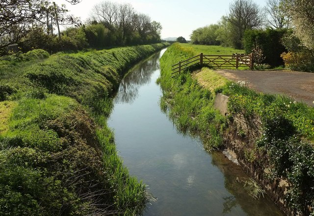
Image: © Derek Harper Taken: 4 May 2016
Looking downstream from Bow Bridge, a spring version of the late summer scene in Image The river is pointing directly at Nyland Hill. Footpath AX 15/18 follows Cross Moor Drove along the bank on the left, which of course is the right bank.
Images are licensed for reuse under creativecommons.org/licenses/by-sa/2.0
Image Location
Latitude
51.286762
Longitude
-2.845118