Axe at Lower Weare
Introduction
The photograph on this page of Axe at Lower Weare by Derek Harper as part of the Geograph project.
The Geograph project started in 2005 with the aim of publishing, organising and preserving representative images for every square kilometre of Great Britain, Ireland and the Isle of Man.

There are currently over 7.5m images from over 14,400 individuals and you can help contribute to the project by visiting https://www.geograph.org.uk
Axe at Lower Weare
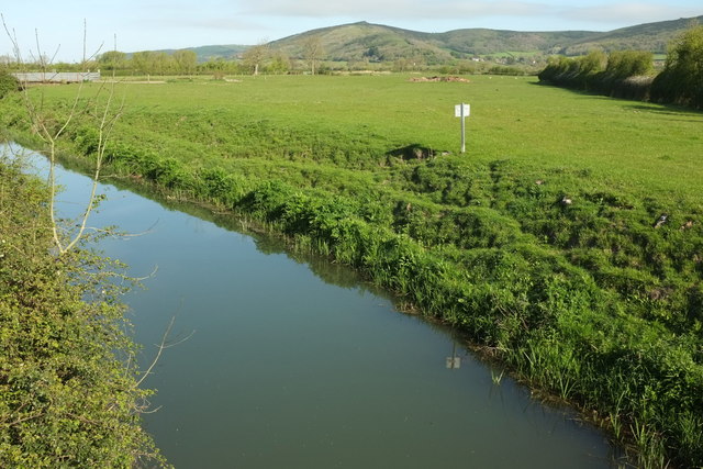
Image: © Derek Harper Taken: 4 May 2016
Like Image, a view down the River Axe from Weare Bridge, but at an angle to include Crook Peak on the Mendip horizon. Downstream is a bridge carrying a farm track.
Images are licensed for reuse under creativecommons.org/licenses/by-sa/2.0
Image Location
Latitude
51.279512
Longitude
-2.85287