Up Brecon Road, Ystradgynlais
Introduction
The photograph on this page of Up Brecon Road, Ystradgynlais by Jaggery as part of the Geograph project.
The Geograph project started in 2005 with the aim of publishing, organising and preserving representative images for every square kilometre of Great Britain, Ireland and the Isle of Man.

There are currently over 7.5m images from over 14,400 individuals and you can help contribute to the project by visiting https://www.geograph.org.uk
Up Brecon Road, Ystradgynlais
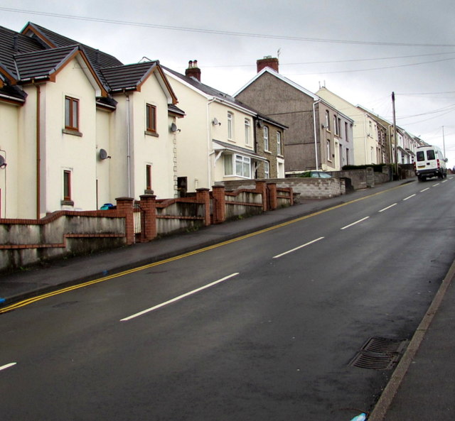
Image: © Jaggery Taken: 10 May 2016
The B4599 Brecon Road ascends away from the centre of Ystradgynlais. A sign at the top of the hill shows an 11% (1 in 9) gradient here.
Images are licensed for reuse under creativecommons.org/licenses/by-sa/2.0
Image Location
Latitude
51.779068
Longitude
-3.754474