Notting Hill Way
Introduction
The photograph on this page of Notting Hill Way by Derek Harper as part of the Geograph project.
The Geograph project started in 2005 with the aim of publishing, organising and preserving representative images for every square kilometre of Great Britain, Ireland and the Isle of Man.

There are currently over 7.5m images from over 14,400 individuals and you can help contribute to the project by visiting https://www.geograph.org.uk
Notting Hill Way
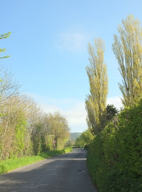
Image: © Derek Harper Taken: 4 May 2016
The road has reached the levels after the descent shown in Image At the bend ahead is a right turn along Sparrow Hill Way through Weare.
Images are licensed for reuse under creativecommons.org/licenses/by-sa/2.0
Image Location
Latitude
51.272066
Longitude
-2.850439