Towards Stone Allerton
Introduction
The photograph on this page of Towards Stone Allerton by Derek Harper as part of the Geograph project.
The Geograph project started in 2005 with the aim of publishing, organising and preserving representative images for every square kilometre of Great Britain, Ireland and the Isle of Man.

There are currently over 7.5m images from over 14,400 individuals and you can help contribute to the project by visiting https://www.geograph.org.uk
Towards Stone Allerton
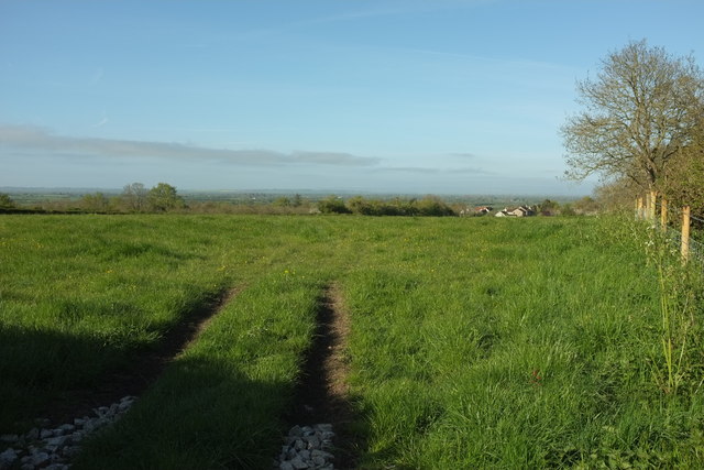
Image: © Derek Harper Taken: 4 May 2016
From a gateway just to the left of the scene in Image], with Dunkerry Road behind the hedge of the right. The main part of the village is on the slope down to the levels of Allerton Moor.
Images are licensed for reuse under creativecommons.org/licenses/by-sa/2.0
Image Location


Leaflet Map data © OpenStreetMap
Latitude
51.259364
Longitude
-2.853644