Burnfort Road, Newport
Introduction
The photograph on this page of Burnfort Road, Newport by Jaggery as part of the Geograph project.
The Geograph project started in 2005 with the aim of publishing, organising and preserving representative images for every square kilometre of Great Britain, Ireland and the Isle of Man.

There are currently over 7.5m images from over 14,400 individuals and you can help contribute to the project by visiting https://www.geograph.org.uk
Burnfort Road, Newport
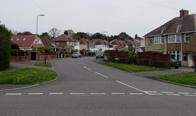
Image: © Jaggery Taken: 6 May 2016
Burnfort Road heads NE towards Melfort Road. This junction is where Highfield Road on the left becomes Gaer Road on the right.
Images are licensed for reuse under creativecommons.org/licenses/by-sa/2.0
Image Location
Latitude
51.579866
Longitude
-3.018532