Harper Street, Barnoldswick, Yorkshire
Introduction
The photograph on this page of Harper Street, Barnoldswick, Yorkshire by Dr Neil Clifton as part of the Geograph project.
The Geograph project started in 2005 with the aim of publishing, organising and preserving representative images for every square kilometre of Great Britain, Ireland and the Isle of Man.

There are currently over 7.5m images from over 14,400 individuals and you can help contribute to the project by visiting https://www.geograph.org.uk
Harper Street, Barnoldswick, Yorkshire
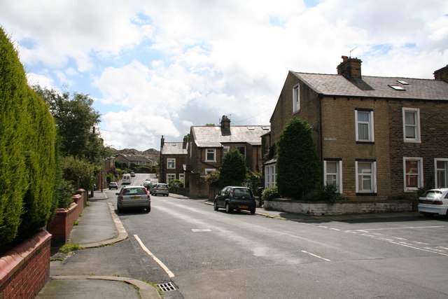
Image: © Dr Neil Clifton Taken: 7 Jul 2007
Looking from Gisburn Road, whence Harper Street runs up to join post-WW2 roads at Pennine Way. On the right here is Denton Street, and the next road on the right is Federation Street.
Images are licensed for reuse under creativecommons.org/licenses/by-sa/2.0
Image Location
Latitude
53.919438
Longitude
-2.191961