Whittington Arms, Tonna
Introduction
The photograph on this page of Whittington Arms, Tonna by Jaggery as part of the Geograph project.
The Geograph project started in 2005 with the aim of publishing, organising and preserving representative images for every square kilometre of Great Britain, Ireland and the Isle of Man.

There are currently over 7.5m images from over 14,400 individuals and you can help contribute to the project by visiting https://www.geograph.org.uk
Whittington Arms, Tonna
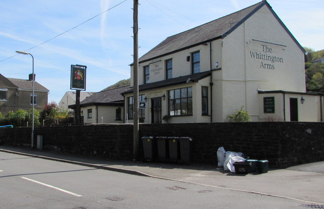
Image: © Jaggery Taken: 5 May 2016
Village pub viewed across Park Street. http://www.geograph.org.uk/photo/4942367 to the name sign.
Images are licensed for reuse under creativecommons.org/licenses/by-sa/2.0
Image Location
Latitude
51.676193
Longitude
-3.772768