Rosemead Preparatory School, Thurlow Park Road (A205)
Introduction
The photograph on this page of Rosemead Preparatory School, Thurlow Park Road (A205) by Noel Foster as part of the Geograph project.
The Geograph project started in 2005 with the aim of publishing, organising and preserving representative images for every square kilometre of Great Britain, Ireland and the Isle of Man.

There are currently over 7.5m images from over 14,400 individuals and you can help contribute to the project by visiting https://www.geograph.org.uk
Rosemead Preparatory School, Thurlow Park Road (A205)
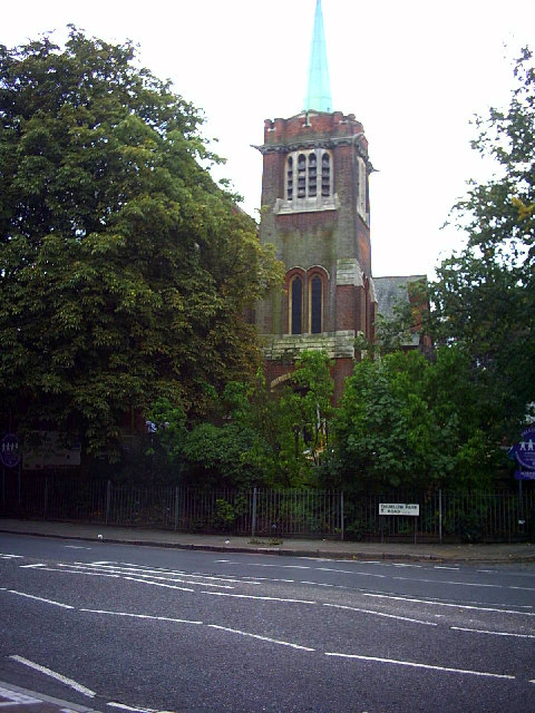
Image: © Noel Foster Taken: 5 Sep 2005
This building, on the corner of Elmcourt Road, was originally a church.
Images are licensed for reuse under creativecommons.org/licenses/by-sa/2.0
Image Location


Leaflet Map data © OpenStreetMap
Latitude
51.439087
Longitude
-0.101799