Former recreation ground
Introduction
The photograph on this page of Former recreation ground by Richard Sutcliffe as part of the Geograph project.
The Geograph project started in 2005 with the aim of publishing, organising and preserving representative images for every square kilometre of Great Britain, Ireland and the Isle of Man.

There are currently over 7.5m images from over 14,400 individuals and you can help contribute to the project by visiting https://www.geograph.org.uk
Former recreation ground
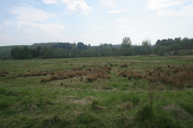
Image: © Richard Sutcliffe Taken: 8 May 2016
Although marked on the map as a recreation ground, this area is now unmanaged, and reverting to nature. However, it is still used for recreation - tyre tracks suggest it is used by bikers, as well as dog walkers and others.
Images are licensed for reuse under creativecommons.org/licenses/by-sa/2.0
Image Location
Latitude
55.928321
Longitude
-4.312762