Woodland stream below B4251, Oakdale
Introduction
The photograph on this page of Woodland stream below B4251, Oakdale by M J Roscoe as part of the Geograph project.
The Geograph project started in 2005 with the aim of publishing, organising and preserving representative images for every square kilometre of Great Britain, Ireland and the Isle of Man.

There are currently over 7.5m images from over 14,400 individuals and you can help contribute to the project by visiting https://www.geograph.org.uk
Woodland stream below B4251, Oakdale
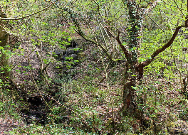
Image: © M J Roscoe Taken: 8 May 2016
The unnamed stream emerges from a culvert, descends to the Sirhowy Valley Walk and flows parallel with it for about 100 metres before dropping into the River Sirhowy.
Images are licensed for reuse under creativecommons.org/licenses/by-sa/2.0
Image Location
Latitude
51.677031
Longitude
-3.185009