House with peat stack at Suardail
Introduction
The photograph on this page of House with peat stack at Suardail by Eileen Henderson as part of the Geograph project.
The Geograph project started in 2005 with the aim of publishing, organising and preserving representative images for every square kilometre of Great Britain, Ireland and the Isle of Man.

There are currently over 7.5m images from over 14,400 individuals and you can help contribute to the project by visiting https://www.geograph.org.uk
House with peat stack at Suardail
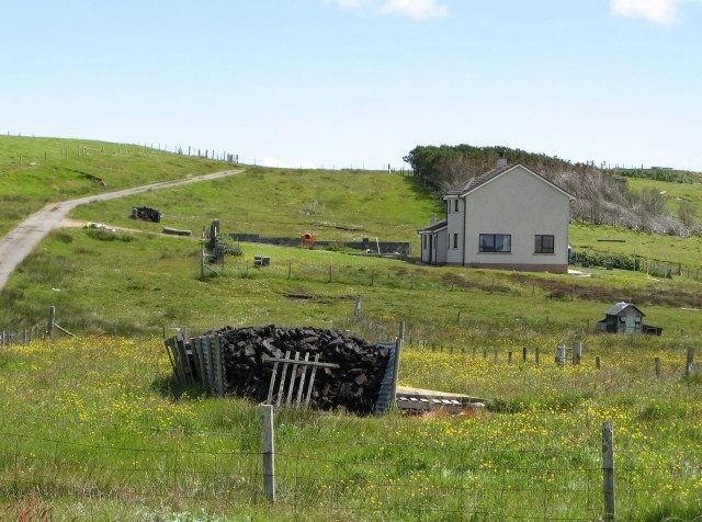
Image: © Eileen Henderson Taken: 29 Jun 2007
This is one of several recently-built houses in the area. The well-stocked peat stack belongs not to the house shown, but to its neighbour, just out of shot on the right.
Images are licensed for reuse under creativecommons.org/licenses/by-sa/2.0
Image Location


Leaflet Map data © OpenStreetMap
Latitude
58.192878
Longitude
-6.262977