A2022 Little Woodcote Lane
Introduction
The photograph on this page of A2022 Little Woodcote Lane by Philip Talmage as part of the Geograph project.
The Geograph project started in 2005 with the aim of publishing, organising and preserving representative images for every square kilometre of Great Britain, Ireland and the Isle of Man.

There are currently over 7.5m images from over 14,400 individuals and you can help contribute to the project by visiting https://www.geograph.org.uk
A2022 Little Woodcote Lane
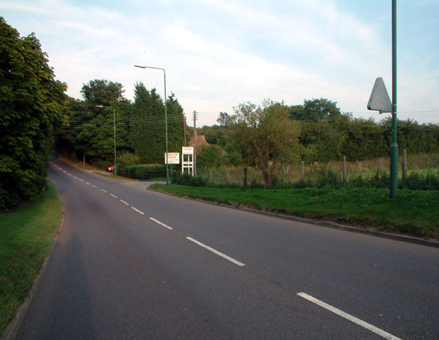
Image: © Philip Talmage Taken: 4 Sep 2005
Looking east. Also visible is the end of a concrete track known as Lower Pillory Down, leading southwards..
Images are licensed for reuse under creativecommons.org/licenses/by-sa/2.0
Image Location


Leaflet Map data © OpenStreetMap
Latitude
51.338076
Longitude
-0.156655