Lane to Astley Public Loading Wharf
Introduction
The photograph on this page of Lane to Astley Public Loading Wharf by Jeff Gogarty as part of the Geograph project.
The Geograph project started in 2005 with the aim of publishing, organising and preserving representative images for every square kilometre of Great Britain, Ireland and the Isle of Man.

There are currently over 7.5m images from over 14,400 individuals and you can help contribute to the project by visiting https://www.geograph.org.uk
Lane to Astley Public Loading Wharf
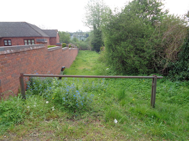
Image: © Jeff Gogarty Taken: 8 May 2016
From the bottom of Hampstall Lane, The Burf, Worcestershire to the River Severn.
Images are licensed for reuse under creativecommons.org/licenses/by-sa/2.0
Image Location
Latitude
52.306913
Longitude
-2.275981