Footpath around Beeston Castle
Introduction
The photograph on this page of Footpath around Beeston Castle by Jeff Buck as part of the Geograph project.
The Geograph project started in 2005 with the aim of publishing, organising and preserving representative images for every square kilometre of Great Britain, Ireland and the Isle of Man.

There are currently over 7.5m images from over 14,400 individuals and you can help contribute to the project by visiting https://www.geograph.org.uk
Footpath around Beeston Castle
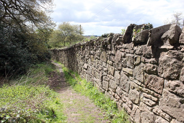
Image: © Jeff Buck Taken: 3 May 2016
The path through the Woodland Park skirting the perimeter of Beeston Castle, here seen at the north of the castle as it runs alongside the boundary wall.
Images are licensed for reuse under creativecommons.org/licenses/by-sa/2.0
Image Location
Latitude
53.12919
Longitude
-2.695357