Dog Lane, Steyning
Introduction
The photograph on this page of Dog Lane, Steyning by Simon Carey as part of the Geograph project.
The Geograph project started in 2005 with the aim of publishing, organising and preserving representative images for every square kilometre of Great Britain, Ireland and the Isle of Man.

There are currently over 7.5m images from over 14,400 individuals and you can help contribute to the project by visiting https://www.geograph.org.uk
Dog Lane, Steyning
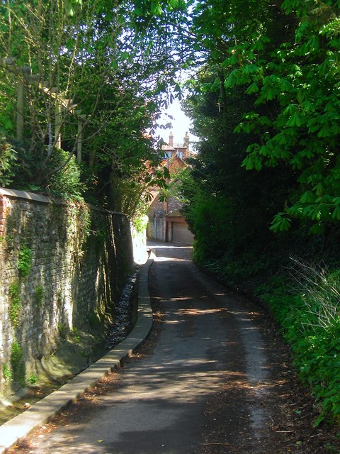
Image: © Simon Carey Taken: 1 May 2016
Linking the High Street with Sheep Pen Lane. Previously known as Brewery Lane as marked on the first three OS maps of 1875, 1897 and 1911. By the 1932 edition it had obtained its current name.
Images are licensed for reuse under creativecommons.org/licenses/by-sa/2.0
Image Location
Latitude
50.886956
Longitude
-0.327927