Stream, Rhiw Syr Dafydd Hill, Rock
Introduction
The photograph on this page of Stream, Rhiw Syr Dafydd Hill, Rock by M J Roscoe as part of the Geograph project.
The Geograph project started in 2005 with the aim of publishing, organising and preserving representative images for every square kilometre of Great Britain, Ireland and the Isle of Man.

There are currently over 7.5m images from over 14,400 individuals and you can help contribute to the project by visiting https://www.geograph.org.uk
Stream, Rhiw Syr Dafydd Hill, Rock
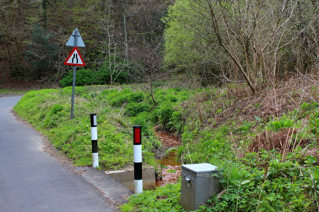
Image: © M J Roscoe Taken: 6 May 2016
An unnamed tributary of the River Sirhowy; the discoloration of the stream bed is presumably caused by leachate from the disused colliery waste tip on the hillside. The stream disappears under the road and then flows south west before entering the river.
Images are licensed for reuse under creativecommons.org/licenses/by-sa/2.0
Image Location
Latitude
51.679438
Longitude
-3.187097