Outbuilding on Hubbal Lane
Introduction
The photograph on this page of Outbuilding on Hubbal Lane by Alan Murray-Rust as part of the Geograph project.
The Geograph project started in 2005 with the aim of publishing, organising and preserving representative images for every square kilometre of Great Britain, Ireland and the Isle of Man.

There are currently over 7.5m images from over 14,400 individuals and you can help contribute to the project by visiting https://www.geograph.org.uk
Outbuilding on Hubbal Lane
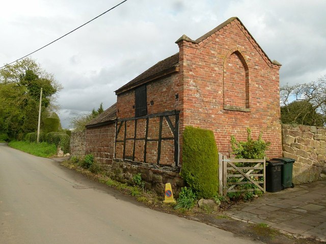
Image: © Alan Murray-Rust Taken: 27 Apr 2016
Late 17th century timber frame lower storey with 19th century additions, probably under the direction of the Durants of Tong Castle. Listed Grade II for group value.
Images are licensed for reuse under creativecommons.org/licenses/by-sa/2.0
Image Location


Leaflet Map data © OpenStreetMap
Latitude
52.664111
Longitude
-2.302033