Junction with Oxford Lane
Introduction
The photograph on this page of Junction with Oxford Lane by Graham Horn as part of the Geograph project.
The Geograph project started in 2005 with the aim of publishing, organising and preserving representative images for every square kilometre of Great Britain, Ireland and the Isle of Man.

There are currently over 7.5m images from over 14,400 individuals and you can help contribute to the project by visiting https://www.geograph.org.uk
Junction with Oxford Lane
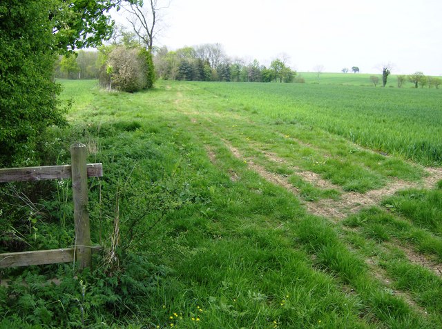
Image: © Graham Horn Taken: 26 Apr 2007
A footpath from Canons Ashby comes in from the left and crosses Oxford Lane here at the eastern edge of the square. The lane, a byway, heads north towards Ashby Gorse, a small wooded area part of which is seen here.
Images are licensed for reuse under creativecommons.org/licenses/by-sa/2.0
Image Location
Latitude
52.160627
Longitude
-1.15383